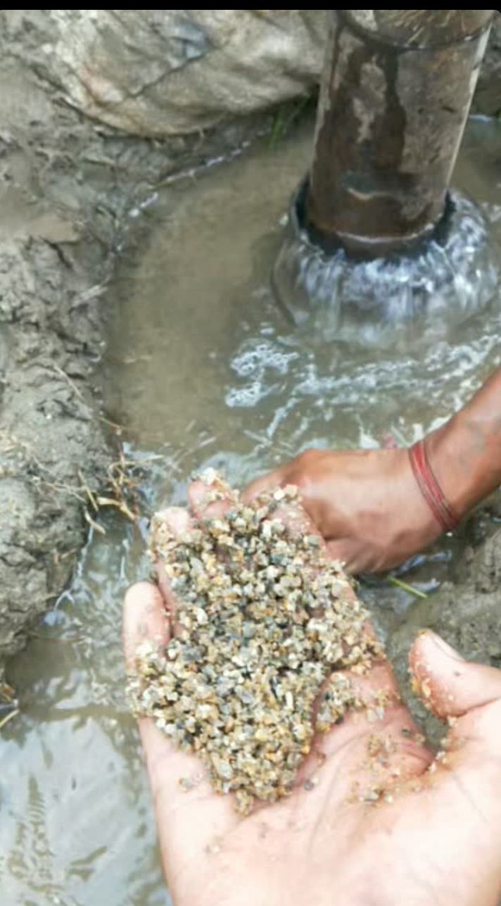
I work with engineering consultancies, survey firms, and design offices that need reliable technical support in the field or through remote production workflows. Most recently, I spent three years at Soil Test (P) Ltd., leading traffic, pavement, and survey operations across Nepal's national road network.
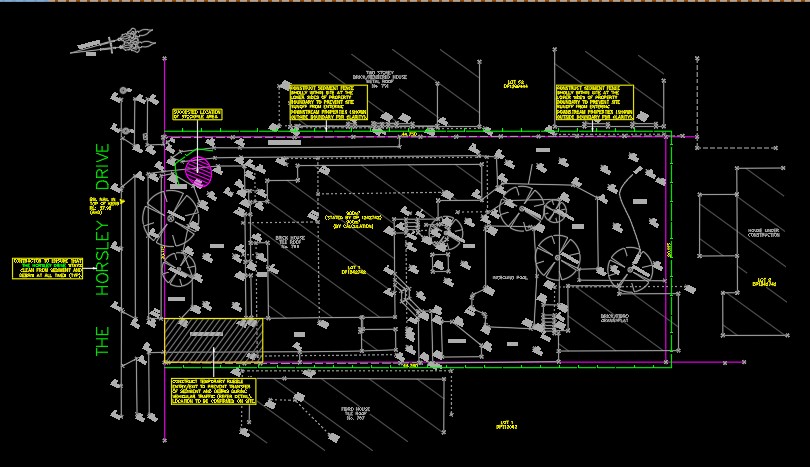
My work spans traffic engineering, pavement and road condition assessment, geotechnical investigation, road user satisfaction surveys, and stormwater drainage design. I handle field planning, team coordination, data processing, QA, GIS mapping, and AutoCAD drafting.
I bridge field execution and office production, turning raw survey work into usable engineering outputs: vehicle-wise traffic datasets, AADT maps, chainage-based distress data, borehole records, and client-ready drawings.